Rounds of rain will roll in this weekend

There will be more clouds than sun out there on Friday, but we will remain mostly dry during the day. Friday night however, will be a different story. Showers will move back in around sunset with temperatures in the 50s. Raindrops will be likely for a couple of hours, before a break in the action around midnight.
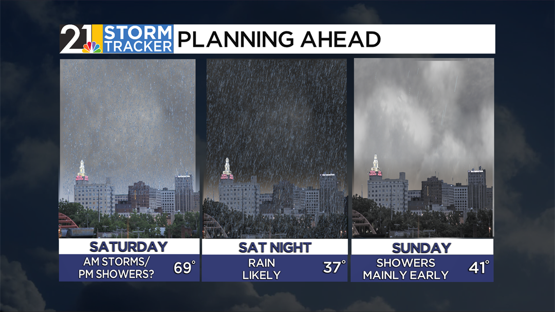
Widespread showers and thunderstorms will return early Saturday morning with some heavy pockets of rain possible. Rain will be most likely Saturday morning before becoming scattered Saturday afternoon. High temperatures tomorrow will reach the upper 60s.
Another round of steadier rain is expected Saturday night into Sunday, and colder air will start to move in as well. High temperatures on Sunday will struggle to get above 40 degrees with some morning raindrops.
A snow shower will be possible Sunday night, but seeing some snowflakes is more likely Monday night into Tuesday as temperatures fall into the mid-20s. After a winter-like day on Tuesday, temperatures will start to moderate for the back half of the week.