The first day of Spring will feature a taste of winter

It was a bright and sunny Wednesday afternoon, but unfortunately today will be a different story. A cold front moving through the region will bring a round of showers to the valley for the morning commute. High temperatures will occur early in the day, with temperatures falling into the upper 30s this evening.
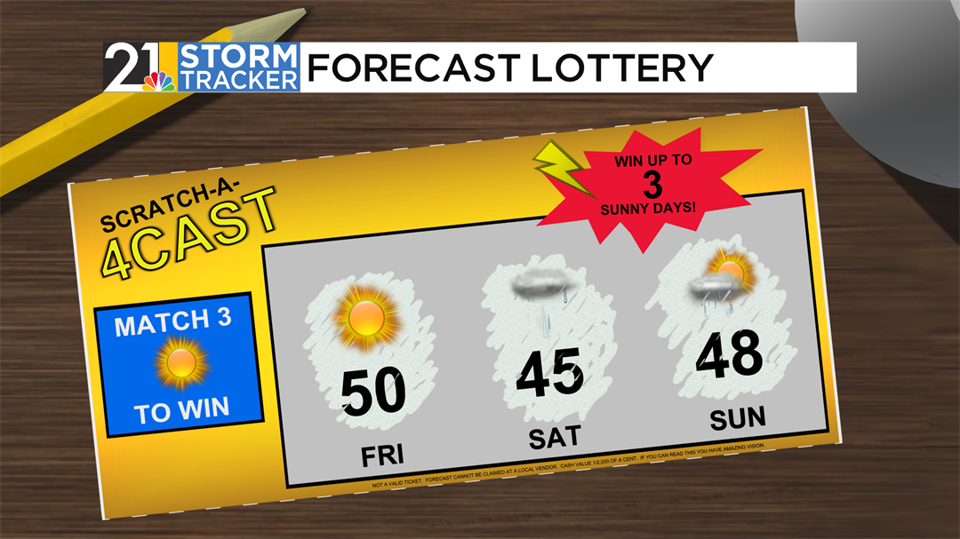
After a midday break from the rain, another round of showers will return as we head towards sunset, with a transition to some snow flurries happening Thursday evening. Flurries will taper off overnight, and skies will clear out once again for Friday.
Abundant sunshine is expected for the middle of the day on Friday with temperatures around average for this time of year. This will be some short-lived sunshine with clouds building back in for Saturday.
The passage of another cold front early Saturday morning will bring another round of raindrops, with mostly cloudy skies sticking around for Saturday afternoon. Showers will again become possible late Sunday afternoon into Sunday night.